Petaluma Valley Historical Hydrology and Ecology GIS Data
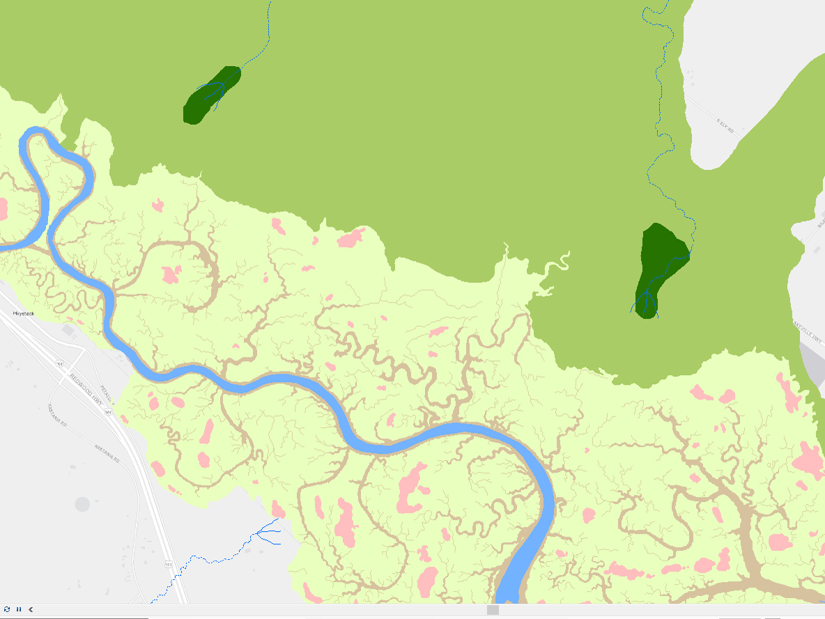
This geodatabase contains several feature classes depicting the historical ecological conditions of the Petaluma River Watershed in the late 1700s to late 1800s. This dataset integrates many sources of data describing the historical landscape features. Extensive supporting information, including bibliographic references, analyses, and research methods, can be found
in the associated report:
Baumgarten SA, Clark EE, Dusterhoff SR, Grossinger RM, Askevold RA. 2018. Petaluma Valley Historical Hydrology and Ecology Study. Prepared for the Sonoma Resource Conservation District and U.S. Environmental Protection Agency. A Report of SFEI-ASC’s Resilient Landscapes Program, SFEI Publication #861, San Francisco Estuary Institute, Richmond, CA.
For for information about this project please refer to project website.
Creation Date:
Tuesday, March 27, 2018
Last Updated:
Tuesday, March 27, 2018
Type of Data:
GIS vector dataset
Programs and Focus Areas:
Resilient Landscapes Program
Historical Ecology