Library
Our library features many hundreds of entries.
To search among them, click "Search" below to pull down options, including filtering by document type, author, year, and keyword.
Find these options under "Show only items where." Or you can also sort by author, title, type, and year clicking the headings below.
Export 57 results:
Filters: First Letter Of Last Name is W [Clear All Filters]
2016. Regional Watershed Spreadsheet Model (RWSM) Year 5 Progress Report. SFEI Contribution No. 788.
. 2017. Demonstration of a Watershed Approach to Wetland Restoration Planning for Load Reductions: A Pilot Demonstration Project Using GreenPlan-IT in the Santa Rosa Plain, Sonoma County, California. SFEI Contribution No. 996. San Francisco Estuary Institute: Richmond. CA.
This summary memorandum presents technical recommendations to the 401 Certification and Waste Discharge Program (401 Program) of the State Water Resources Control Board (State Board) for a coherent, scientifically sound, repeatable, watershed approach to wetland restoration site evaluation, compliance monitoring and assessment, and Tracking. The recommendations are drawn from the previous four memoranda produced for the Pilot Demonstration Project (Project) that address the following subjects: project work plan and information flow diagram; scientific literature review; landscape scenario planning (to map and prioritize restoration opportunities); and a framework for a watershed-approach to evaluate and report the capacity of a wetland restoration site to protect wetland beneficial uses.
This Project focused on a sub-watershed of the Santa Rosa Plain, in Sonoma County, California. The area was chosen for the Project for three reasons: (1) it is integral to an existing nutrient TMDL and therefore is supported relatively well with hydrological and nutrient data; (2) the historical and existing wetlands and streams of the area were mapped recently in sufficient detail to inform landscape planning; and (3) implementation of the TMDL will involve wetland restoration to reduce downstream nutrient loads, and therefore the Project may help implement the TMDL.
The primary overall purpose of this Project was to explore how numerical simulation and statistical modeling could be combined with existing wetland assessment and reporting tools to create a coherent, watershed-based approach to wetland beneficial use protection. Any relevance to the existing nutrient TMDL for the demonstration area is an intentional, but secondary benefit of this Project.
2018. Green Infrastructure Planning for the City of Sunnyvale with GreenPlan-IT. SFEI Contribution No. 881. San Francisco Estuary Institute : Richmond, CA.
2018. Green Infrastructure Planning for North Richmond Pump Station Watershed with GreenPlan-IT. SFEI Contribution No. 882. San Francisco Estuary Institute: Richmond, CA.
2015. GreenPlan-IT Toolkit User Guide. SFEI Contribution No. 958. San Francisco Estuary Institute: Richmond, CA.
Structurally, the GreenPlan-IT is comprised of three components: (a) a GIS-based Site Locator Tool to identify potential GI sites; (b) a Modeling Tool that quantifies anticipated watershed-scale runoff and pollutant load reduction from GI sites; and (c) an Optimization Tool that uses a cost-benefit analysis to identify the best combinations of GI types and number of sites within a watershed for achieving flow and/or load reduction goals. The three tool components were designed as standalone modules to provide flexibility and their interaction is either through data exchange, or serving as a subroutine to another tool. This user manual addresses each of the tools separately, though they are designed to complement each other.
2018. Green Infrastructure Planning for the City of Richmond with GreenPlan-IT. SFEI Contribution No. 883. San Francisco Estuary Institute: Richmond, CA.
2018. Green Infrastructure Planning for the City of Oakland with GreenPlan-IT. SFEI Contribution No. 884. San Francisco Estuary Institute : Richmond, CA.
2015. GreenPlan-IT Toolkit Demonstration Report. SFEI Contribution No. 958. San Francisco Estuary Institute: Richmond, CA.
GreenPlan-IT is a planning level tool that was developed by SFEP and SFEI with support and oversight from BASMAA to provide Bay Area municipalities with the ability to evaluate multiple management alternatives using green infrastructure for addressing stormwater issues in urban watersheds. GreenPlan-IT combines sound science and engineering principles with GIS analysis and optimization techniques to support the cost-effective selection and placement of Green Infrastructure (GI) at a watershed scale. Tool outputs can be used to develop quantitatively-derived watershed master plans to guide future GI implementation for improving water quality in the San Francisco Bay and its tributary watersheds.
This report provides an overview of the GreenPlan-IT Tool and demonstrates its utility and power through two pilot studies which is summarized in this report as a case study. The pilot studies with the City of San Mateo and the City of San Jose explored the use of GreenPlan-IT for identifying feasible and optimal GI locations for mitigation of stormwater runoff. They are provided here to give the reader an overview of the user application process from start to finish, including problem formulation, data collection, GIS analysis, establishing a baseline condition, GI representation, and the optimization process. Through the pilot study application process the general steps and recommendations for how GreenPlan-IT can be applied and interpreted are presented.
2019. Regional Watershed Modeling and Trends Implementation Plan. SFEI Contribution No. 943. San Francisco Estuary Institute: Richmond, CA.
2018. RMP Small Tributaries Loading Strategy: Modeling and Trends Strategy 2018. SFEI Contribution No. 886. San Francisco Estuary Institute : Richmond, CA.
2019. Optimal Selection and Placement of Green Infrastructure in Urban Watersheds for PCB Control. Journal of Sustainable Water in the Built Environment 5 (2) . SFEI Contribution No. 729.
San Francisco Bay and its watersheds are polluted by legacy polychlorinated biphenyls (PCBs), resulting in the establishment of a total maximum daily load (TDML) that requires a 90% PCB load reduction from municipal stormwater. Green infrastructure (GI) is a multibenefit solution for stormwater management, potentially addressing the TMDL objectives, but planning and implementing GI cost-effectively to achieve management goals remains a challenge and requires an integrated watershed approach. This study used the nondominated sorting genetic algorithm (NSGA-II) coupled with the Stormwater Management Model (SWMM) to find near-optimal combinations of GIs that maximize PCB load reduction and minimize total relative cost at a watershed scale. The selection and placement of three locally favored GI types (bioretention, infiltration trench, and permeable pavement) were analyzed based on their cost and effectiveness. The results show that between optimal solutions and nonoptimal solutions, the effectiveness in load reduction could vary as much as 30% and the difference in total relative cost could be well over $100 million. Sensitivity analysis of both GI costs and sizing criteria suggest that the assumptions made regarding these parameters greatly influenced the optimal solutions.
If you register for access to the journal, then you may download the article for free through July 31, 2019.
2017. From Sediment to Top Predators: Broad Exposure of Polyhalogenated Carbazoles in San Francisco Bay (U.S.A.). Environmental Science and Technology 51, 2038-2046.
The present study provides the first comprehensive investigation of polyhalogenated carbazoles (PHCZ) contamination in an aquatic ecosystem. PHCZs have been found in soil and aquatic sediment from several different regions, but knowledge of their bioaccumulation and trophodynamics is extremely scarce. This work investigated a suite of 11 PHCZ congeners in San Francisco Bay (United States) sediment and organisms, including bivalves (n = 6 composites), sport fish (n = 12 composites), harbor seal blubber (n = 18), and bird eggs (n = 8 composites). The most detectable congeners included 3,6-dichlorocarbazole (36-CCZ), 3,6-dibromocarbazole (36-BCZ), 1,3,6-tribromocarbazole (136-BCZ), 1,3,6,8-tetrabromocarbazole (1368-BCZ), and 1,8-dibromo-3,6-dichlorocarbazole (18-B-36-CCZ). The median concentrations of ΣPHCZs were 9.3 ng/g dry weight in sediment and ranged from 33.7 to 164 ng/g lipid weight in various species. Biomagnification was observed from fish to harbor seal and was mainly driven by chlorinated carbazoles, particularly 36-CCZ. Congener compositions of PHCZs differed among species, suggesting that individual congeners may be subject to different bioaccumulation or metabolism in species occupying various trophic levels in the studied aquatic system. Toxic equivalent (TEQ) values of PHCZs were determined based on their relative effect potencies (REP) compared to 2,3,7,8-tetrachlorodibenzo-p-dioxin (TCDD). The median TEQ was 1.2 pg TEQ/g dry weight in sediment and 4.8 – 19.5 pg TEQ/g lipid weight in biological tissues. Our study demonstrated the broad exposure of PHCZs in San Francisco Bay and their characteristics of bioaccumulation and biomagnification along with dioxin-like effects. These findings raise the need for additional research to better elucidate their sources, environmental behavior, and fate in global environments.
2017. Regional Watershed Spreadsheet Model (RWSM): Year 6 Progress Report. SFEI Contribution No. 811. San Francisco Estuary Institute: Richmond, CA.
2006. Carbamates, Diazinon, Imidacloprid and Piperonyl Butoxide in Surface Water by Liquid Chromatography/Mass Spectrometry-Mass Spectrometry. J. of Agricultural and Food Chemistry . SFEI Contribution No. 442.
2006. Pyrethroids, Pyrethrins, and Piperonyl Butoxide in Sediments by High Resolution Gas Chromatography/High Resolution Mass Spectrometry. Journal of Chromatography 7 . SFEI Contribution No. 439.
2006. Quantitative Determination of Pyrethroids, Pyrethrins, and Piperonyl Butoxide in Surface Water by High Resolution Gas Chromatography/High Resolution Mass Spectrometry. Journal of Agricultural and Food Chemistry . SFEI Contribution No. 441.
2019. Pilot Study Examining Spatial Differences in Water Quality Between Shoal and Channel Habitats. SFEI Contribution No. 948. San Francisco Estuary Institute: Richmond, CA.
2013. Applying Sediment Quality Objective Assessment Protocols to Two San Francisco Bay 303(d)-Listed Sites. Final Report. San Francisco Estuary Institute: Richmond.
2013. Applying Sediment Quality Objective Assessments to San Francisco Bay Samples from 2008-2012. San Francisco Estuary Institute and Southern California Coastal Water Research Project: Richmond, CA.
2008. Estuary News RMP Insert 2008. Estuary News.
2012. Napa River Watershed Profile: Past and Present Characteristics with Implications for Future Management of the Changing Napa River Valley. San Francisco Estuary Institute: Richmond, CA. p 172.
2009. WRMP Factsheet — Wetland and Riparian Base Map. San Francisco Estuary Institute: Oakland, Ca.
2022. ELEVATION AND OPPORTUNITY IN THE DELTA: Restoring the right thing in the right place. SFEI Contribution No. 1082. San Francisco Estuary Institute: Richmond, Ca.
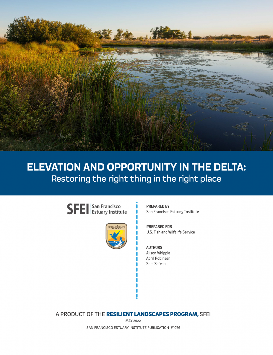
A future Sacramento-San Joaquin Delta and Suisun Marsh (“Delta” herein) that supports healthy ecosystems and native species, while also meeting flood risk reduction, water supply, water quality, carbon sequestration, economic, and cultural objectives, requires that appropriate restoration and management actions be taken in the right place at the right time. Geographic setting affects the potential opportunities available—not all actions are suitable everywhere. Physical factors determining what types of activities are appropriate now and in the future include a site’s elevation, degree of tidal and fluvial influence, salinity, soil type, and local effects of climate change, which all vary spatially across the Delta. While there has been considerable progress over the last several decades, continued acceleration of the pace and scale of enhancement actions appropriate to landscape position is needed. Understanding the physical template is necessary for developing strategies that move beyond opportunistic restoration, support resilience over time, and have the potential to connect and magnify benefits across the larger landscape.
2008. An Introduction to the Historical Ecology of the Watsonville Sloughs: a Tool for the Critical Coastal Area Action Plan. San Francisco Estuary Institute.
2019. Chinook Salmon Habitat Quantification Tool: User Guide (Version 1.0). Prepared for American Rivers. Funded by the Natural Resources Conservation Service Conservation Innovation Grant (#69-3A75-17-40), Water Foundation and Environmental Defense Fund. A report of SFEI-ASC’s Resilient Landscapes Program. SFEI Contribution No. 953. San Francisco Estuary Institute: Richmond, CA.
The Salmon Habitat Quantification Tool provides systematic, transparent, and consistent accounting of the spatial extent, temporal variability, and quality of salmon habitat on the landscape. It is part of the multi-species assessment of the Central Valley Habitat Exchange (CVHE, www.cvhe.org). The suitability criteria applied in the tool were established by Stillwater Sciences and the Technical Advisory Committee (TAC), and the Chinook salmon HQT habitat evaluation and User Guide development was led by American Rivers and the San Francisco Estuary Institute. The approach uses commonly-applied concepts for evaluating suitable habitat based on modeling, with methods adapted from the hydrospatial analysis approach developed by Alison Whipple (2018).
2022. RESILIENT STATEN ISLAND: Landscape Scenario Analysis Pilot Application. SFEI Contribution No. 1083. San Francisco Estuary Institute: Richmond, Ca.
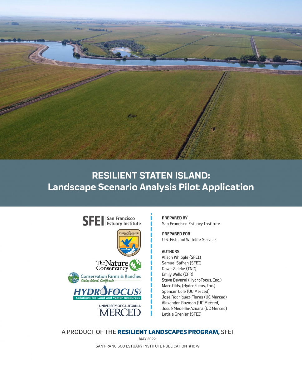 A central motivating question for the Sacramento-San Joaquin Delta science and management community is what should be done, where and when, to support future Delta landscapes that are ecologically and economically viable and resilient to change. Actions must be taken that have the greatest potential for achieving multiple benefits. This is especially important given the urgency to rapidly transition Delta landscapes to address biodiversity loss, erosion of ecosystem resilience, flood risk, water supply reliability, and cultural and economic sustainability. Landscape-scale planning is needed to examine how individual actions add up to meaningful change. Such planning involves figuring out how different areas can provide different functions at different times and helps show how choices made now can help shift trajectories toward desired outcomes. Too often, land use and management decisions are made based on a limited set of objectives or at the site scale, resulting in missed opportunities. Actions (or inaction) should not foreclose on critical opportunities. Moving forward, there is great need to more effectively compare possible future scenarios across a range of ecological and economic factors. This scenario analysis for Staten Island — a large Delta island managed for multiple uses and facing challenges similar to elsewhere in the Delta — provides an approach to help address this need.
2012. Sacramento-San Joaquin Delta Historical Ecology Investigation: Exploring Pattern and Process. SFEI Contribution No. 672. SFEI: Richmond.
The Sacramento-San Joaquin Delta has been transformed from the largest wetland system on the Pacific Coast of the United States to highly productive farmland and other uses embodying California’s water struggles. The Delta comprises the upper extent of the San Francisco Estuary and connects two-thirds of California via the watersheds that feed into it. It is central to the larger California landscape and associated ecosystems, which will continue to experience substantial modification in the future due to climate change and continued land and water use changes. Yet this vital ecological and economic link for California and the world has
been altered to the extent that it is no longer able to support needed ecological functions. Approximately 3% of the Delta’s historical tidal wetland extent remains wetland today; the Delta is now crisscrossed with agricultural ditches replacing the over 1,000 miles of branching tidal channels.
Imagining a healthy Delta ecosystem in the future and taking bold, concrete steps toward that future requires an understanding and vision of what a healthy ecosystem looks like. For a place as extensive, unique, and modified as the Delta, valuable knowledge can be acquired through the study of the past, investigating the Delta as it existed just prior to the substantial human modifications of the last 160 years. Though the Delta is irrevocably altered, this does not mean that the past is irrelevant. Underlying geologic and hydrologic processes still influence the landscape, and native species still ply the waters, soar through the air, and move across the land. Significant opportunities are available to strategically reconnect landscape components in ways that support ecosystem resilience to both present and future stressors.
2010. Shifting Baselines in a California Oak Savanna: Nineteenth Century Data to Inform Restoration Scenarios. Restoration Ecology 19 (101), 88-101 . SFEI Contribution No. 593.
For centuries humans have reduced and transformed Mediterranean-climate oak woodland and savanna ecosystems, making it difficult to establish credible baselines for ecosystem structure and composition that can guide ecological restoration efforts. We combined historical data sources, with particular attention to mid-1800s General Land Office witness tree records and maps and twentieth century air photos, to reconstruct 150 years of decline in extent and stand density of Valley oak (Quercus lobata Neé) woodlands and savannas in the Santa Clara Valley of central coastal California. Nineteenth century Valley oak woodlands here were far more extensive and densely stocked than early twentieth century air photos would suggest, although reconstructed basal areas (7.5 m2/ha) and densities (48.9 trees/ha) were not outside the modern range reported for this ecosystem type. Tree densities and size distribution varied across the landscape in relation to soil and topography, and trees in open savannas were systematically larger than those in denser woodlands. For the largest woodland stand, we estimated a 99% decline in population from the mid-1800s to the 1930s. Although most of the study area is now intensely developed, Valley oaks could be reintroduced in urban and residential areas as well as in surrounding rangelands at densities comparable to the native oak woodlands and savannas, thereby restoring aspects of ecologically and culturally significant ecosystems, including wildlife habitat and genetic connectivity within the landscape.
2022. An Urban Forest Master Plan for East Palo Alto. SFEI Contribution No. 1071. San Francisco Estuary Institute: Richmond, CA.
1996. Further Development of Chronic Ampelisca Abdita Bioassay as an Indicator of Sediment Toxicity. SFEI Contribution No. 17. San Francisco Estuary Institute: Richmond, CA.
2010. Removal of Creosote-Treated Pilings and Structures from San Francisco Bay. SFEI: Oakland.
2010. Estuary News RMP Insert 2010. Estuary News.
2012. Estuary News RMP Insert 2012. Estuary News. San Francisco Estuary Institute: Richmond, CA.
2009. Estuary News RMP Insert 2009. Estuary News.
2021. Urban Stormwater Runoff: A Major Pathway for Anthropogenic Particles, Black Rubbery Fragments, and Other Types of Microplastics to Urban Receiving Waters. Environmental Science and Technology Water . SFEI Contribution No. 1040.
 Stormwater runoff has been suggested to be a significant pathway of microplastics to aquatic habitats; yet, few studies have quantified microplastics in stormwater. Here, we quantify and characterize urban stormwater runoff from 12 watersheds surrounding San Francisco Bay for anthropogenic debris, including microplastics. Depth-integrated samples were collected during wet weather events. All stormwater runoff contained anthropogenic microparticles, including microplastics, with concentrations ranging from 1.1 to 24.6 particles/L. These concentrations are much higher than those in wastewater treatment plant effluent, suggesting urban stormwater runoff is a major source of anthropogenic debris, including microplastics, to aquatic habitats. Fibers and black rubbery fragments (potentially tire and road wear particles) were the most frequently occurring morphologies, comprising ∼85% of all particles across all samples. This suggests that mitigation strategies for stormwater should be prioritized. As a case study, we sampled stormwater from the inlet and outlet of a rain garden during three storm events to measure how effectively rain gardens capture microplastics and prevent it from contaminating aquatic ecosystems. We found that the rain garden successfully removed 96% of anthropogenic debris on average and 100% of black rubbery fragments, suggesting rain gardens should be further explored as a mitigation strategy for microplastic pollution.
2010. Habitat-Related Benthic Macrofaunal Assemblages of Bays and Estuaries of the Western United States. Integrated Environmental Assessment and Management 8 (4), 638-648.
2008. The level of agreement among experts applying best professional judgment to assess the condition of benthic infaunal communities. Ecological Indicators: Integrating, Monitoring, Assessment and Management 8, 389-394.
2013. Benthic macrofaunal assemblages of the San Francisco Estuary and Delta, USA. Environmental Monitoring Assessment.
1998. The potential distribution and abundance of zebra mussels in California. Dreissena! (New York Sea Grant) 9, 1-3 . SFEI Contribution No. 323.
2023. Data Management Procedures: For Lake County Water Resources Department (LCWRD) and Habematolel Pomo Of Upper Lake (HPUL) Tribe Water Quality Monitoring Data. SFEI Contribution No. 1140. p 18.
1997. A sediment transport pathway in the back of a nearly semienclosed subembayment of San Francisco Bay, California. Environmental and Coastal Hydraulics: Protecting the Aquatic Habitat(Proceedings of Theme B., F.M. Holly, A. Alsaffar, S.S.Y. Wang, T. Carstens eds.) 2, 1096-1101 . SFEI Contribution No. 29.
2022. Suspect Screening and Chemical Profile Analysis of Storm-Water Runoff Following 2017 Wildfires in Northern California. Environmental Toxicology and Chemistry . SFEI Contribution No. 1089.
The combustion of structures and household materials as well as firefighting during wildfires lead to releases of potentially hazardous chemicals directly into the landscape. Subsequent storm-water runoff events can transport wildfire-related contaminants to downstream receiving waters, where they may pose water quality concerns. To evaluate the environmental hazards of northern California fires on the types of contaminants in storm water discharging to San Francisco Bay and the coastal marine environment, we analyzed storm water collected after the northern California wildfires (October 2017) using a nontargeted analytical (NTA) approach. Liquid chromatography quadrupole time-of-flight mass spectrometric analysis was completed on storm-water samples (n = 20) collected from Napa County (impacted by the Atlas and Nuns fires), the city of Santa Rosa, and Sonoma County (Nuns and Tubbs fires) during storm events that occurred in November 2017 and January 2018. The NTA approach enabled us to establish profiles of contaminants based on peak intensities and chemical categories found in the storm-water samples and to prioritize significant chemicals within these profiles possibly attributed to the wildfire. The results demonstrated the presence of a wide range of contaminants in the storm water, including surfactants, per- and polyfluoroalkyl substances, and chemicals from consumer and personal care products. Homologs of polyethylene glycol were found to be the major contributor to the contaminants, followed by other widely used surfactants. Nonylphenol ethoxylates, typically used as surfactants, were detected and were much higher in samples collected after Storm Event 1 relative to Storm Event 2. The present study provides a comprehensive approach for examining wildfire-impacted storm-water contamination of related contaminants, of which we found many with potential ecological risk. Environ Toxicol Chem 2022;00:1–14. © 2022 SETAC