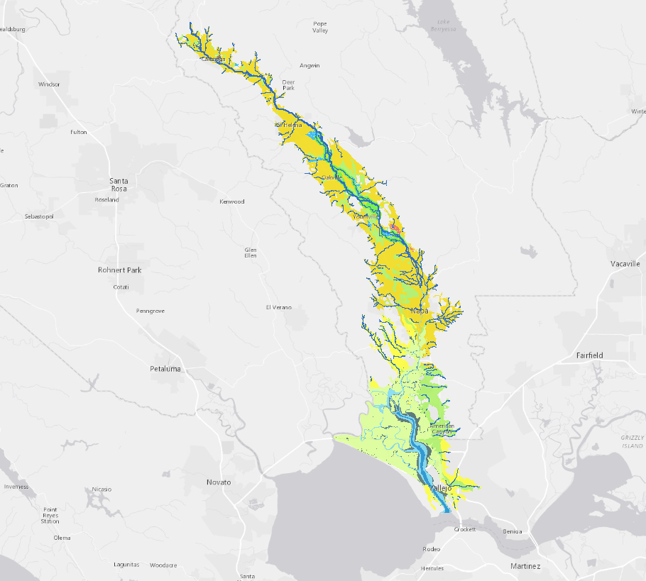
This dataset represents a reconstruction of the historical landscape and prevailing conditions of Napa Valley prior to Euro-American modification. It integrates many sources of data describing the historical features of Napa Valley. Extensive supporting information, including bibliographic references and research methods, can be found in the Napa Valley Historical Ecology Atlas forthcoming from UC Press (2012).

Creation Date: 
Friday, July 29, 2011
Last Updated: 
Friday, July 29, 2011
Type of Data: 
GIS vector dataset
Programs and Focus Areas: 
Environmental Informatics Program
Geographic Information Systems
Resilient Landscapes Program
Historical Ecology
Location Information
Data Availability
Please Cite This Dataset as: 

San Francisco Estuary Institute (SFEI). 2011. "Napa Historical Ecology Atlas GIS Data" Accessed [date retrieved]. http://www.sfei.org/data/napa-historical-ecology-atlas-gis-data

Terms of Use: 
Copyright 2011 San Francisco Estuary Institute.
 
This file is part of Napa Historical Ecology Atlas GIS Data.
 
Napa Historical Ecology Atlas GIS Data is free data: you can redistribute it and/or modify it under the terms of the GNU General Public License as published by the Free Software Foundation, either version 3 of the License, or (at your option) any later version.
 
Napa Historical Ecology Atlas GIS Data is distributed in the hope that it will be useful, but WITHOUT ANY WARRANTY; without even the implied warranty of MERCHANTABILITY or FITNESS FOR A PARTICULAR PURPOSE.  See the GNU General Public License for more details.
 
You should have received a copy of the GNU General Public License along with Napa Historical Ecology Atlas GIS Data. If not, see http://www.gnu.org/licenses/.
Data File(s):