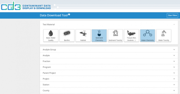
The new CD3 Data Download tool!
Sep 27, 2018
SFEI has created many science-based mapping tools to help resource managers to access and visualize vast data bases. CD3, (Contaminant Data, Display and Download), is a water pollution mapping and analytical tool. It will help anyone map, quantify, assess and instantly produce a report on pollution issues at any scale in the Bay Area and Delta.
In the past, some users of the Contaminant Data Display and Download tool (CD3) loved the ability to visualize data found across the Bay and beyond, but struggled to download the datasets they needed for their analysis. Now, this problem has been addressed. The new CD3 tool (https://cd3.sfei.org/downloads/) accesses all data for any analyte, project or station. Filters allow you to customize search criteria and download data from different programs in one file. Spatial information, including the HUC 8,10, and 12, County, Regional Board, and San Francisco Bay segment, is included in each download.
This tool will play a vital role in the Bay RMP's Data Visualization Challenge!
Programs and Focus Areas:
Bay Regional Monitoring Program
Environmental Informatics Program


