Alameda Creek Watershed Sediment Forum
About Alameda Creek
Introduction
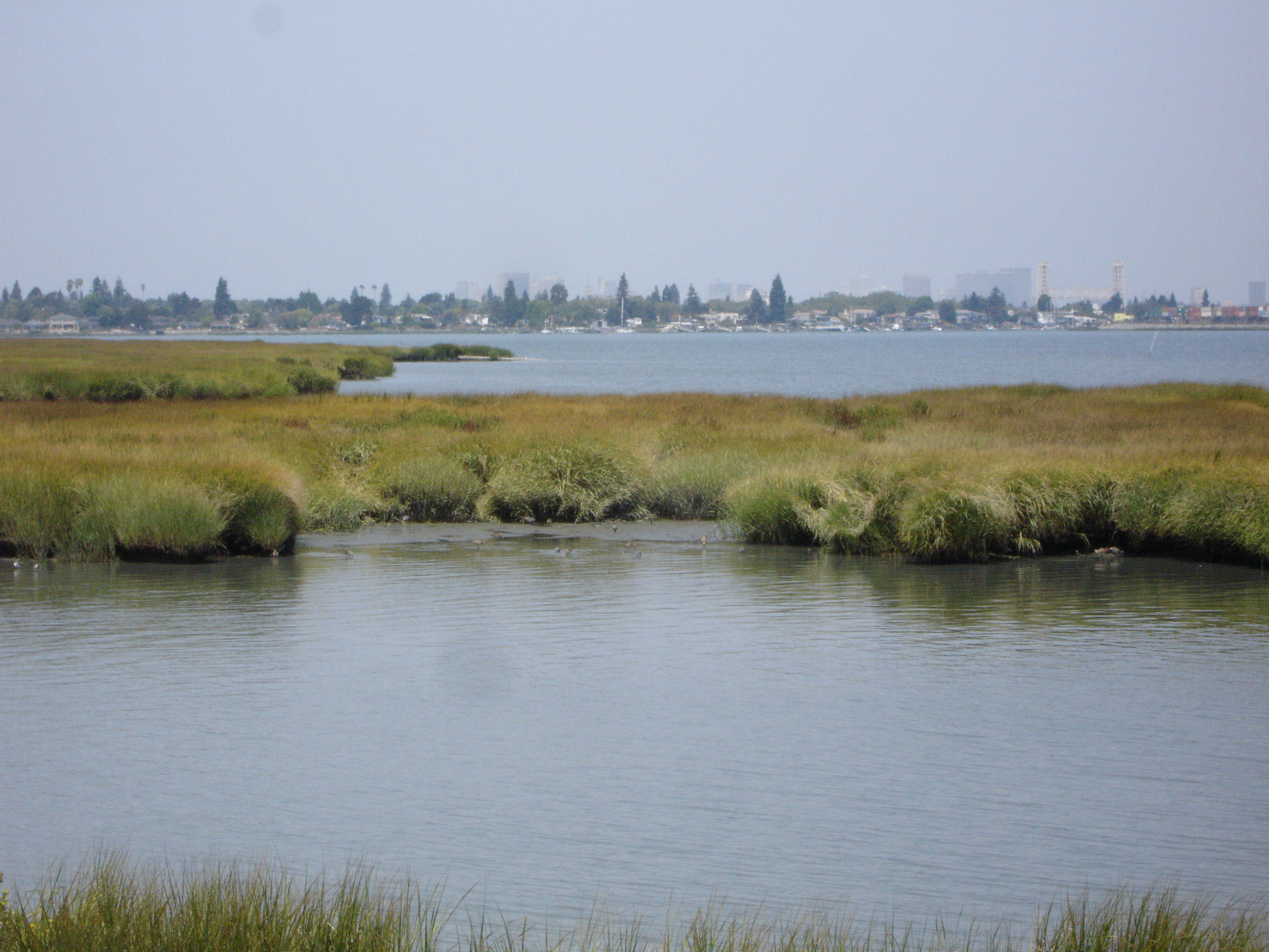
Alameda Creek is the largest watershed in the Bay area draining approximately 650 square miles of the East Bay interior hills and valleys, including the Livermore-Amador and Sunol valleys. The creek then cuts through the East Bay Hills via Niles Canyon before flowing across its large alluvial fan and floodplain complex, ultimately discharging into the southern portion of the San Francisco Bay. Average annual rainfall in the watershed varies from 24 inches on Mt Hamilton at an elevation of 4,400 ft above sea level to 15 inches near the Bay margin in Fremont. In addition to the growing urban areas of Livermore, Dublin, Pleasanton and Sunol where collective population has risen from 70,000 in 1970 to 170,000 in the 2000 census, the watershed is managed for grazing, equestrian facilities, nurseries, and, more recently, vineyards. There are three major reservoirs (San Antonio, Del Valle, and Calaveras that collectively store 225,000 acre-feet) in addition to a groundwater recharge and pumping complex downstream that relies on the Niles Cone aquifer. All together, about 3,000,000 residents of the Bay Area rely on Alameda Creek for clean drinking water. The wide range of topography and climate provide for the beneficial uses of agriculture, groundwater recharge, fisheries (cold water, warm water, spawning, and migration), rare and endangered species, recreation, and wildlife habitat.
The Sediment Dichotomy
A combination of eroding soils, landslides and debris flows, and incising and widening channels annually supply large volumes of sediment to the Creek. Coarse sediment is positive for the creek segments managed for spawning and rearing habitat for salmonids. However, those same coarse sediments can fill reservoirs and the downstream flood control channel in Fremont, impact bridges, and impair regular operation and maintenance of groundwater pumping and percolation facilities. Fine sediment is generally deleterious to all the beneficial uses of the Creek. However, once both types of sediment have passed through the flood control channel and into the Bay, they are valuable as the supply for the biological and physical material necessary for wetlands on the Bay margin. Hence, agencies managing different parts of the Creek system face a dichotomy of competing needs with regards to coarse and fine sediment.
Developing Information and Coordination Among Groups
Agencies, stakeholders, and land owners have begun the process of learning about where sediment comes from, what kinds of sediment are in the Creek (coarse versus fine), what measures may be affective to protect channels, how it moves through the system, how it collects behind structures and in channels, and how much of it moves through to the wetlands on the Bay margin. Presently, much of this information is being collected in isolation by agencies in response to their individual needs and goals. However, due to a common regulatory framework, there are likely instances where sharing information or perhaps even developing joint monitoring, research, or modeling projects would reduce overall costs and increase the usefulness of the information generated.
Sediment Forum
The Alameda Creek Watershed Sediment Forum grew out of a recognition for the need of stakeholders and public agencies to come together to share ideas and information. The objectives of the forum are to:
- To enhance the potential for collaboration amongst the Stakeholders of the Alameda Creek Watershed through the vocabulary of technical scientific and engineering field observations and modeling.
- To twice-annually provide a regular predictable forum for presentation of results, celebrate achievements, and learn lessons from less successful projects and disproved misconceptions, and to develop new ideas and hypotheses.
- To set goals for the watershed that address the common needs of the stakeholders and to provide a forum to begin the dialog of compromise when needs are competitive.
April 2008
Documents
- Agenda
- Attendance List
- Turbidity measurements in Alameda Creek and selected tributaries
- A Sediment Budget for Two Reaches of Alameda Creek
- SFPUC Sunol and Niles Dam Removal Project
- Composite Digital Terrain Models
- Bank Stability and Toe Erosion Model
- Evolution following Tidal Marsh Restoration
- Impacts of Sediment on ACWD Facilities and Operations
- Stream Goals - A Concept for Discussion
- Review of Sediment Gauging - Framework and Questionnaire
December 2008
Documents
- Agenda
- Attendance List
- An Organzied Vision
- Sediment and Steelhead in the Alameda Creek Basin : A Review
- Sediment and Hydraulic Challenges in the City of Livermore
- El Charro Specific Plan Hydrology and Hydraulics
- Zone 5 Line A (Alameda Creek) Existing survey data. Alameda County Public Works
- A Quick Update on Tidal Marsh Restoration Efforts in Eden Landing
- Fish Passage through the Alameda Creek Flood Control Channel
- How Watershed Scientist & Managers use Historical Ecology
- Review of Sediment gaging efforts in Alameda Creek
- Morphological Modeling of the Alameda Creek Flood Control Channel
- Watershed Information Center & Conservancy Board (WICC) of Napa County
Dates:
2008
Partners:
Associated Staff:
Programs and Focus Areas:
Clean Water Program
Watershed Monitoring and Modeling