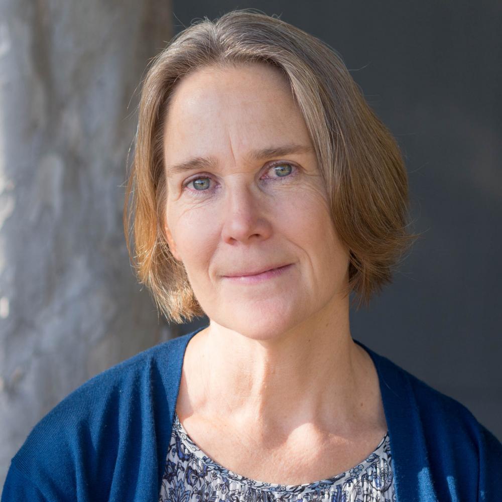
Sarah Lowe
Sarah Lowe, MS
Senior Environmental Scientist
Resilient Landscapes Program
Watershed Science & Management
Wetland Monitoring & Assessment
510-746-7384
Sarah joined the Regional Monitoring Program for Water Quality in San Francisco Bay (Bay-RMP) in 1994. During that time Sarah conducted science and managed projects and special studies related to contaminants, toxicity, and benthic ecology. Sarah later managed the Institute’s Data Management team, was the assistant Quality Assurance Officer, and Assistant Manager of the Bay-RMP for several years. In 2010 Sarah joined the Wetland Science Focus Area under the Resilient Landscapes Program and became a Senior Project Manager for projects whose focus is to support wetland monitoring and assessment using standardized science and technology in a watershed context for California's Wetland and Riparian Area Protection Policy. Ms. Lowe is the lead scientist at SFEI supporting an ongoing monitoring and assessment project with the Santa Clara Valley Water District's Safe Clean Water and Natural Flood Protection Program's- Priority D5 Project. That project is establishing a baseline condition assessment that characterizes the amount, distribution, and ecological condition of streams and wetlands in its five major watersheds using the WRAMP Framework (which includes a watershed approach, probability based survey designs recommended by the USEPA, and the California Rapid Assessment Method for wetlands). SFEI's Wetland Science Focus Area and Environmental Informatics Program staff coordinate with the California Wetland Monitoring Workgroup (a workgroup of the State's Water Quality Monitoring Council) to develop wetland monitoring protocols and online tools that support environmental data access, map-based visualization, and summaries about the distribution, abundance, and condition of aquatic resources across the state (EcoAtlas.org, CD3.org, and cramwetlands.org). Ms. Lowe received her M.S. in Environmental Management from the University of San Francisco and B.A. in Biology from the University of California at Santa Cruz.
Related Projects, News, and Events
 North Coast WRAMP Demonstration: Mapping Standards (Project)
The North Coast WRAMP Demonstation Project focused on mapping and assessing the condition of aquatic resources within the Santa Rosa Plain, CA using GIS based mapping protocols consistent with BAARI. A new regional Mapping Standards Methodology (NCARI) was developed to add regional wetland types not covered in BAARI's documentation.
 California Rapid Assessment Method (CRAM): Bar-Built Estuarine Wetlands (Project)
The CRAM Bar-Built Estuarine module is used for assessing reaches of coastal rivers and streams that are ecologically influenced by seasonal closures of their tidal inlets.
CRAM is a cost-effective and scientifically defensible rapid assessment method for monitoring and assessing the ecologcial conditions of wetlands throughout California. It takes less than half a day to assess a wetland area, and is designed evaluate the condition of the wetland based on it's landscape setting, hydrology, physical structure and biological structure. Because the methodology is standardized for over seven types of wetlands, ecological condition scores can be compared at the local, regional and statewide landscape scales.
 BAARI v2.0 is now available! (News)
Version 2 of the BAARI (Bay Area Aquatic Resource Inventory) GIS dataset has been released. Local experts provided advice on and reviewed BAARI’s baylands, stream and wetland data layers to increase its accuracy and detail.
 Web Services Available for CRAM and Wetland Projects (News)
Web services provide a standard way to access geo-referenced data online. SFEI now provides web services for the California Rapid Assessment Method (CRAM) Assessment Areas and California Wetland Projects data layers.Although potential uses are numerous, typically web services allow one machine to exchange data with another for timely, automated, and efficient sharing of information. Different service types provide different levels of access to the data, including serving image tiles of the data or the features and attributes themselves.
- ‹ previous
- 3 of 3

